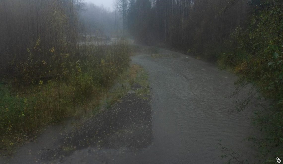
River in the Sky
Weather in the northwest is usually characterized as gentle and benign.
And while the area may have a reputation for rain, our summers are among the driest in the nation.
Most of the precipitation that falls here is concentrated primarily in just a few months, from November to February. The greatest rainfall typically occurrs during the last weeks of November, when the atmospheric rivers begin to make landfall.
An atmospheric river is a thin, long column of water vapor in the sky that stretches from the Pacific Ocean tropics into higher latitudes. These “rivers in the sky” transport water vapor outside of the tropics and are a primary feature in the entire global water cycle.
Warm air can hold more water vapor than cold air so the key ingredient to these heavy rainfall events is the influx of warm, moist air that originates over the tropics. The air then follows the jet stream eastward, aiming for the West Coast where the water vapor is then released in the form of rain or snow.
While these storms can be striking in their intensity and can bring hazardous impacts such as flooding and strong winds, these are beneficial systems as they replenish the water supply after a dry summer.
Atmospheric scientist Cliff Mass said after the storms last week, “Here in the Northwest, we are enjoying one of the most bountiful early snow periods in years.”
| Weather in the northwest is usually characterized as gentle and benign. And while the area may have a reputation for rain, our summers are among the driest in the nation. Most of the precipitation that falls here is concentrated primarily in just a few months, from November to February. The greatest rainfall typically occurrs during the last weeks of November, when the atmospheric rivers begin to make landfall. An atmospheric river is a thin, long column of water vapor in the sky that stretches from the Pacific Ocean tropics into higher latitudes. These “rivers in the sky” transport water vapor outside of the tropics and are a primary feature in the entire global water cycle. Warm air can hold more water vapor than cold air so the key ingredient to these heavy rainfall events is the influx of warm, moist air that originates over the tropics. The air then follows the jet stream eastward, aiming for the West Coast where the water vapor is then released in the form of rain or snow. While these storms can be striking in their intensity and can bring hazardous impacts such as flooding and strong winds, these are beneficial systems as they replenish the water supply after a dry summer. Atmospheric scientist Cliff Mass said after the storms last week, “Here in the Northwest, we are enjoying one of the most bountiful early snow periods in years.” And according to the SNOTEL (Snow Telemetry) data, the Olympic Mountain snowpack is 441% of normal as of this week! The trend is predicted to continue as we head into a La Nina event. This weather pattern is associated with more snow and cooler than average temperatures so little snowmelt is expected before summer. Good news for next year’s salmon runs! |
 |
“Pineapple Express” is a term used to desribe the specific atmospheric river that orignates near Hawaii and travels across the Pacific Ocean in a northeast direction towards the west coast.
photo: cnn.com

“Listen to the Rhythm of the Falling Rain.”
![]()

