
Protecting the Dungeness
Environmental Protection
During recent decades, the Dungeness watershed has been the focus for numerous committees, studies, and government projects. This section summarizes the important groups and events that have focused on environmental protection and management.
Forest Land Protections
The US Forest Service established the Buckhorn Wilderness Area in Olympic National Forest in the 1980s. It provides protection for the upper watershed reaches of the Dungeness and Gray Wolf rivers. The (Clinton) Forest Plan of the early 1990s resulted in further protective designations of national forest in the Dungeness/Gray Wolf watersheds.
Attention to River Problems (the first Dungeness River Management Team)
The first Dungeness River Management Team formed in 1988 to ‘improve communications and the orderly, long term management of the river and its resources. It focused on flood control, fish and wildlife, and water use.
Dungeness River Management Team (DRMT – the watershed council)
The D-Q Plan recommended formation of a watershed council concerned with watershed and river issues, beginning in 1995. The Jamestown S’Klallam Tribe and Clallam County initiated the council, with the name continuing from the original late 1980s team. The DRMT includes members from various groups, meets monthly, and is the recognized advisory group for watershed issues.
Dungeness River Restoration Work Group (DRRWG)
A recommendation in the D-Q Plan established a group of habitat and fisheries biologists, river engineering experts, and others. Their analyses of river issues resulted in the report “Recommended Restoration Projects for the Dungeness River” in 1997, subsequently adopted by the DRMT. This group also serves as a technical advisory group to the DRMT on river issues.
Stream Restorations
Several recent projects in the watershed by the Clallam Conservation District and the Water Users Association include 1) small stream restoration projects, 2) irrigation system improvements, 3) bank protection projects, 4) large woody debris (LWD) structures, and 5) land acquisition and conservation easements.
Reconciling Flood Hazard Management, River Restoration, and Salmon Recovery
Concerns voiced several years back in DRMT noted the need to update the County’s Comprehensive Dungeness River Flood Control Management Plan to integrate the river restoration and salmon recovery issues. A work group established by the DRMT and County is working on an updated plan.
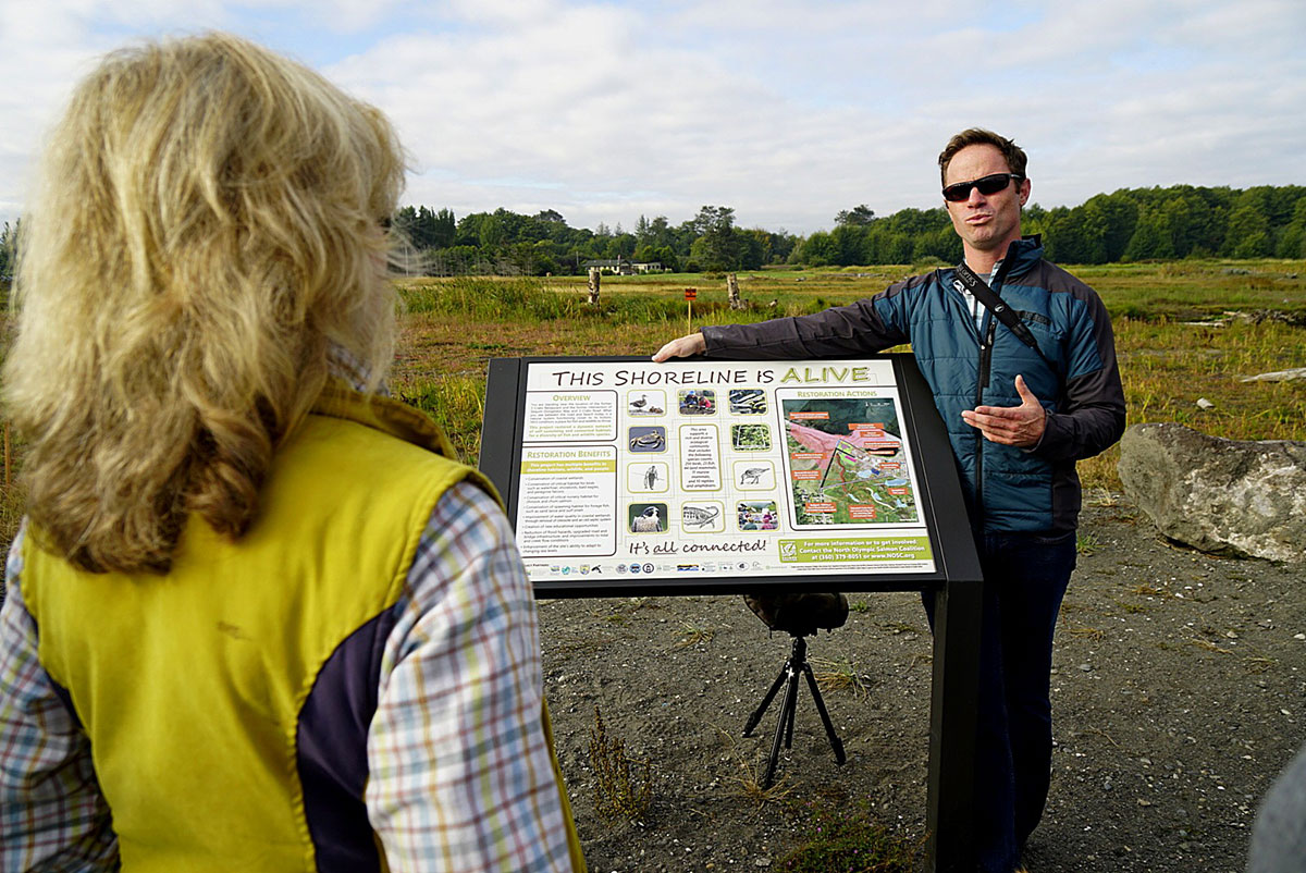
Jimmycomelately Estuary Restoration
A long history of flooding and related problems will be solved with a projected re-alignment of lower Jimmycomelately Creek at the base of Sequim Bay to re-establish its former estuary.
Trust Water Rights Agreement
During the D-Q Water Resources project, the Agricultural Water Users and the Tribe developed and embraced a provisional agreement to share equally between irrigation diversion and instream flows during late summer/fall low-flow periods (the ‘share the gain, share the pain’ agreement). This agreement reflected willingness of the irrigation water-right holders to not claim their adjudicated (but not enforced) rights in the face of severe salmon recovery needs.
The “Keys to an Understanding of the Natural History of the Dungeness River System”
This reference document originated from a Puget Sound Water Quality Authority PIE project administered by the Jamestown S’Klallam Tribe. The “Keys…” provides information on watershed history, topography, geology, climate, detailed analyses of river flows, precipitation and snowpack sources, and an annotated bibliography of published and other materials.
Protection Plans
Watershed Management Plans
The Dungeness-Quilcene Water Resources Management Plan, 1991 – 1994
The Dungeness/Quilcene Water Resources Management Plan (the D-Q Plan) addressed the issue of water quantity in the watershed. Under the Chelan Agreement, a Regional Planning Group mandated by the Washington Legislature must be formed to develop a regional water resources management plan for eastern Clallam and Jefferson Counties. The Jamestown S’Klallam Tribe was the coordinating entity and the State Department of Ecology administered the funding.
In 1994, as part of the D-Q Plan, irrigators agreed to restrict their withdrawals so that at least 50 percent of the river flow from 1 August to the end of the irrigation season would remain in the river. Recommendations from this plan are numerous, including protection of instream flows for fish, habitat restoration, and public education on water issues.
Flood Control Management Plan
In response to concerns about flooding, Clallam County authorized preparation of the Dungeness River Comprehensive Flood Control Management Plan in 1989. The Plan was adopted by Clallam County in 1990. The goals included the protection of loss of life and property, but recognized flood control in “the context of the river’s varied uses, including agricultural and residential, fish and wildlife habitat, water supply, open spaces, and recreation.”
The Dungeness-Quilcene Water Resources Management Plan
The Dungeness-Quilcene Water Resources Management Plan, 1991 – 1994
The Dungeness/Quilcene Water Resources Management Plan (the D-Q Plan) addressed the issue of water quantity in the watershed. Under the Chelan Agreement, a Regional Planning Group mandated by the Washington Legislature must be formed to develop a regional water resources management plan for eastern Clallam and Jefferson Counties. The Jamestown S’Klallam Tribe was the coordinating entity and the State Department of Ecology administered the funding.
In 1994, as part of the D-Q Plan, irrigators agreed to restrict their withdrawals so that at least 50 percent of the river flow from 1 August to the end of the irrigation season would remain in the river. Recommendations from this plan are numerous, including protection of in-stream flows for fish, habitat restoration, and public education on water issues.
Comprehensive Water Conservation Plan
The Comprehensive Water Conservation Plan of the Dungeness River Agricultural Water Users Association (WUA)
The WA Department of Ecology, the Jamestown S’Klallam Tribe, and the Water Users Association (WUA) have worked cooperatively to improve streamflow conditions for fisheries during the irrigation season, especially during and after the D-Q Water Resources project.
Growth Management Act Plan
New comprehensive planning for the Sequim-Dungeness area has been mandated by the Washington Growth Management Act (GMA) since the mid-1990s. The mandated plan for our area is the Clallam County Comprehensive Plan. There are four regional plans, of which the Sequim-Dungeness Regional Planning Area plan includes this watershed. The County plan notes that growth itself can degrade the environment and that our “wetlands, streams, and aquifers are essential elements of infrastructure … essential to the developed environment.” A revison to the GMA-mandated Critical Area Ordinance in 2000 included the designation of a “meander zone” of the river for planning and zoning purposes.
Dungeness National Wildlife Refuge Plan
The Refuge, first established in 1915, completed a new management plan in the latter 1990s, including seasonal limits on public use of portions of the Dungeness Spit to protect wildlife habitat.
Studies
US Geological Survey
The U S Geological Survey (Drost) Hydrogeology Study, 1978-1981
This work, supported by WA Department of Ecology and Clallam County, perhaps best exemplifies an important change toward coordinated examination of water resource issues in the Sequim/Dungeness area. It included a detailed research study on the interactions of the river, irrigation diversions, and groundwater use in a 60 sq mile area, accompanied by a summary study of water resources throughout Clallam County.
Sequim-Dungeness Groundwater
The Sequim-Dungeness Ground-water Quality and Ground-water Protection Studies
Concerns about worsening water quality led to the Sequim-Dungeness Ground-water Quality Study in May 1990 and a follow-up project, the Sequim-Dungeness Ground-water Protection Strategy, in January 1992. Among other results, the study found that increases in nitrate levels in wells in the Sequim-Dungeness area may be a concern. Recommendations included initiating a water well construction inspection program, encouraging best management practices for agriculture and landscaping, establishing a County central data repository, and studying the hydrogeology of the area.
Instream Flow Studies
Concerns about instream flows in the Dungeness River and loss of fish habitat led to instream flow studies of the lower Dungeness River. For the first time these studies provided quantitative recommendations from a recognized expert on how much water fish needed at different seasons of the year. Highest priority was given to chinook, pinks, and steelhead since coho were not considered to be chronically depleted. The 1992 Salmon and Steelhead Stock Inventory summary listed Dungeness River lower and upper pinks, spring/summer chinook, winter/summer steelhead, and coho in critical condition. These fish have different seasonal needs for water depending upon their life stage. It was determined that the flow needed for maximum fish habitat from November to March was 575 cfs, April through July 475 cfs, and August through October 180 cfs. Note that the average flow above the irrigation diversions is 227 cfs in late August (minimum 116 cfs) and 187 cfs in early September (minimum 100 cfs) so almost all the water would have to be left in the river to meet maximum instream flows for salmon during most years.
Salmon & Steelhead Stock Inventory
The Salmon and Steelhead Stock Inventory (SASSI), 1992
Studies of the status of salmonid species were important to later designations of endangered species, and in deliberations during the Dungeness-Quilcene Water Resource study. In addition Lichatowich provided a series of reports on salmon status and habitat constraints, and on the probable salmon abundance before white Euro-American settlement.
The Orsborn & Ralph Aquatic Resource Assessment of the Dungeness River System
This study, done in 1992-94, first evaluated information on land use in the basin, the river channel, hydrologic characteristics, and fish habitat. This widely respected work is often used by other researchers.
The Dungeness and Waterhole Snotel Installations
The USDA Natural Resources Conservation Service installed Snotel snowpack monitoring sites at Dungeness (Silver Creek, 4100 ft elevation) and Waterhole (Hurricane Ridge, 5000 ft elevation). These two sites, beginning in 1999 and 2000, provide precipitation, snow depth, water content, and temperature data by telemetry and internet access.
Dike Setbacks and Flood Plain Recovery
The Bureau of Reclamation, Corps of Engineers, and others are involved with geomorphic studies, river hydraulics modeling, and land utilization analyses. The lower river and estuary have been considered a high priority for river restoration.
Shellfish Closure, Shoreline Protection, Clean Water Studies
A Clean Water Work Group is focusing on water quality problems and shellfish harvest closures in Dungeness Bay, organized by the Tribe and Clallam County.
Continuing Groundwater Explorations
Continuing groundwater (hydrogeology) explorations of the watershed
A several year assessment of groundwater conditions and data gathering was done in the late 1990s by USGS as recommended in the D-Q Plan, to improve understanding of the groundwater resource. A Dungeness River seepage study is near completion, also by USGS, providing another data source for groundwater modeling as recommended by the D-Q plan. An accompanying seepage study has just been completed by WA DOE for the river from the Dungeness Forks to the USGS 11.8 mile gage. Current discussions are identifying techniques and desired outcomes for three-dimensional transient groundwater modeling of the watershed.